270 British Vectors
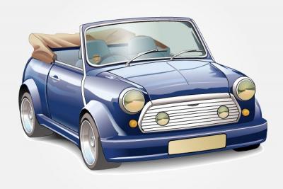
Found 116 free vector downloads for 270 BritishA vintage Mini Copper Vector, the classic British car. This one is convertible (with stripped roof) and is blue in color. Broooom!
nicu buculei flag geography symbol purple signs symbols british free flags felipescu great britain united english kingdom england
British Flag clip art
black man white warrior soldier elizabethan
Elizabethan Soldier clip art

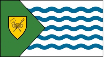
flag city canada signs symbols british vancouver wes flags columbia
Vancouver City Flag clip art