Map Vector Vectors
Found 28 free vector downloads for Map Vectoreps format, including jpg preview, keyword: Vector earth, world map, vector material
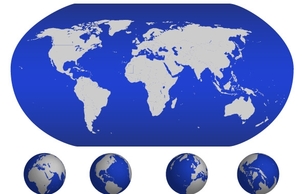
Crystal blue earth world map vector material
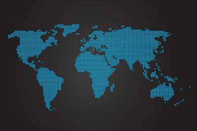
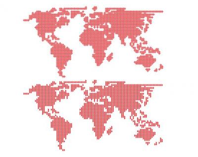
A dotted world map vector on a dark background. Modern and simple. Enjoy!
A truly beautiful and abstract world map vector illustration with a glowing effect. Have fun with it in your next design project.

A modern tech world map with with extruded continents and set on a brown background. Comes in vector eps and ai format and is free to use also in commercial projects.

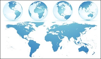
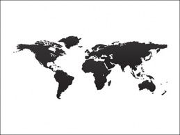
A simple, and easy to use world map vector.
World Map Vector Graphic
Map vector for the world continents - a map showing the whole world and each continent. This world continent map vector is a great resource for any world map project!

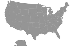
Map Vector for The United States, a country on the north american continent, sandwiched between Canada to the north, and Mexico to the south. Use this map vector for the United States to spice up your next project!

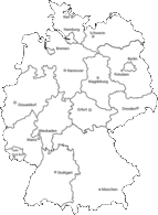
Karte von Deutschland inkl. Bundesländer. A map of germany
Map vector for Mexico, the fifth largest country in the Americas, located on the southern most part of the North American continent. Use this Mexico map vector to spice up your next project!

Map vector of the world countries, which is a map of the whole world with the borders outlining each country. Use this world countries map vector to enhance your next world project!

Map vector for Canada - the world's second largest country by land area, located in the northern hemisphere on the North American continent. Use this detailed Canada map vector in any of your projects!

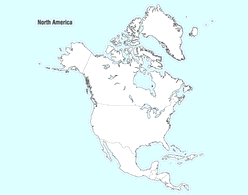
Map vector for North America, the only continent in the northwest hemisphere of the world. Use this North America map vector to enhance all of your designs!
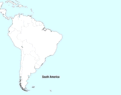
Map vector for South America, one of the world's continents located in the southwest hemisphere of the world. Use this South America map vector to enhance your next project!
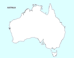
Map vector for Australia - the smallest continent in the world, located in the southern hemisphere. Use this Australian map vector for all your projects!
Download map vector art and compass Illustrator graphics to create adventure, destination, travel, vacation, history, historic journey, exploration, navigation, orientation, cartography and measurement graphics. Globe vector with vector map and compass illustration.