North Pole Cookies Vectors
Found 54 free vector downloads for North Pole Cookiesblack white cartoon barber shop lineart pole poles barbershop
Barber Shop Pole clip art

black north arrow direction arrows pfeil directions up
Black Arrow clip art
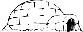
building house home igloo ice snow cold pole freezing
Various Cliparts clip art


wire man lineart rope illusion optical pull
Optical Illusion clip art

food outline cup milk drink lineart coloring cookies
Milk And Cookies clip art
animals food outline bird stand pole feeder
Bird Feeder Pole Outline clip art